l
l
l
l
l
l
l
l
l
l
l
l
l
l
l
l
l
l
l
l
l
l
l
l
l
l
l
l
l
l
l
D
I
E
D
I
E
D
I
E
DI
E
D
I
E
DIE OUR
Amel
Yvoir
Ciney
Gouvy
Arlon
Houyet
Onhaye
Etalle
Hamois
Durbuy
Marche
Dinant
Assesse
Clavier
Bertrix
Hastière
St-Léger
Tintigny
Bastogne
Gedinnes
Havelange
Beauraing
St-Hubert
Sankt Vith
Martelange
Florenville
Trois-Ponts
Profondeville
Fosses-la-Ville
La Roche-en-Ardenne
0
5
10
15
20
25 Km
Grenze der Flussgebietseinheit Rhein
±
Operative
Generaldirektion
Landwirtschaft,
Naturschätze
und Umwelt
Anwendung der europäischen Richtlinie 2000/60/EG
Bewirtschaftungsplan für die Flussgebietseinheiten
RHEIN
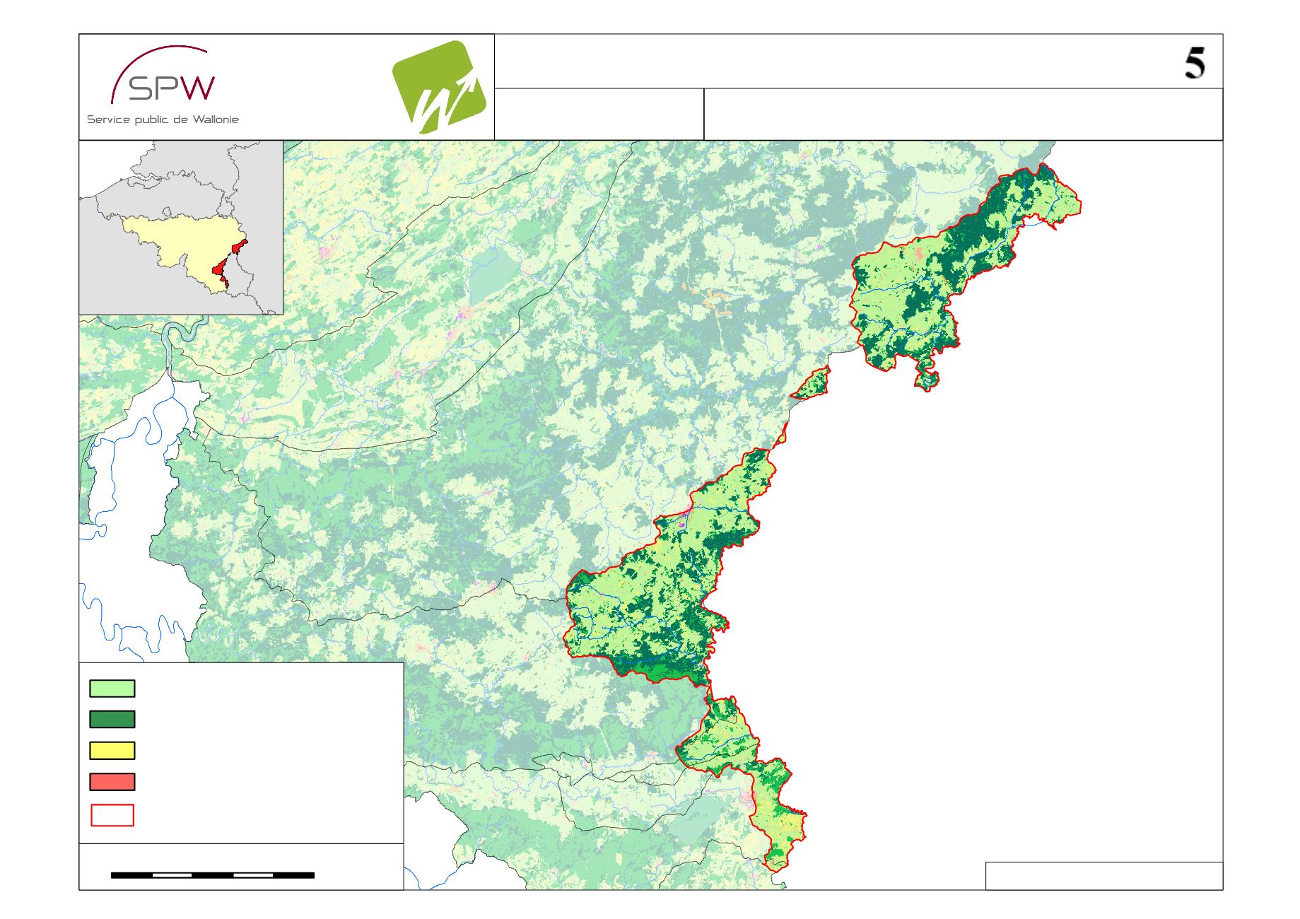
BP WRRL 2009 - Quelle: SPW-DGARNE
Bodennutzung
Nordsee
Niederlande
Frankreich
Lux.
Deutschland
Saisonkulturen
Lebensraum
Wälder und Forste
Dauerwiese


